Bird food
Example of a collection object with geographical referencing for demonstrating spatial data structures
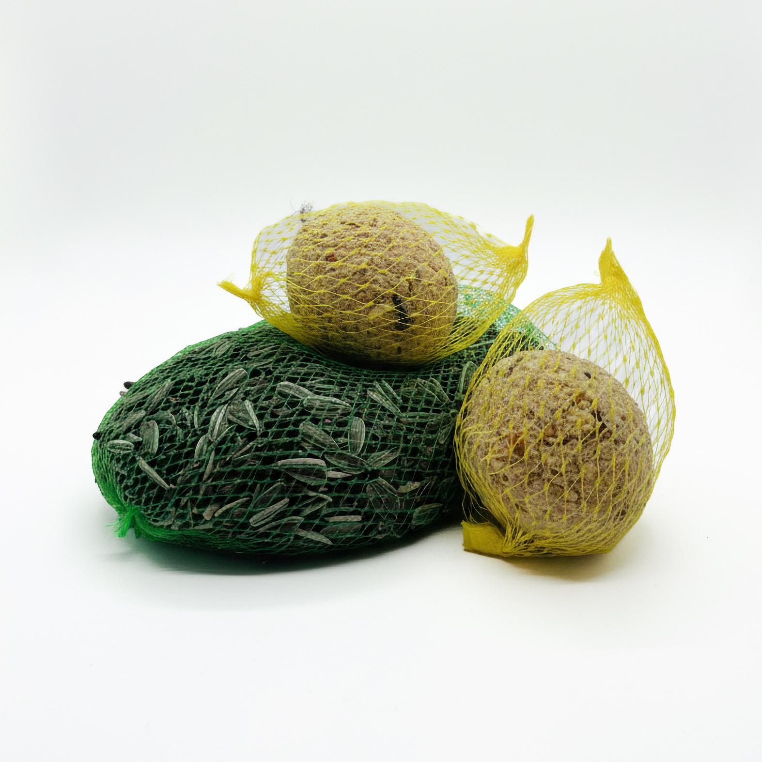
Technical characteristics of the object
All collection objects within our infrastructure can be enriched with geographic information and spatially referenced. Both point geometries and more complex geometries such as polygons are supported and can be flexibly adapted to different use cases.
The recorded geodata can be exported in a standardized GeoJSON format and further processed in mapping applications, portals, or analytical systems. This makes it possible to access collections not only by content but also spatially, and to relate them to places, regions, or movement spaces.
On this basis, functions such as spatial search, cluster analysis, or “nearby search” applications can be implemented, making objects visible in relation to the current location or defined geographic reference points. This adds an additional dimension of access that contextualizes collections and opens up new spatial perspectives.
Geospatial data of the object
4 Objects found
Within 0.3km
The geospatial data is based on controlled vocabularies.
Number of objects found within
0.3km
radius:
4
Search objects in the surrounding area:
Warning - a new search will be started when clicking!
Basic data
Data source:
Object type:
Bird food
Status:
published
Inventory number:
JO-04
Keywords:
Animal care
Grains
Alex’s favorite project
Genre:
Animal feed
Chronological dating:
Modern era
Dating:
2025
Object Type Hierarchy:
Bird food
Full path of the hierarchy element:
Location
Administrative Hierarchy:
Jena
Full path of the hierarchy element:
Location:
Jena
Geo coordinates:
50.928657 11.588061
Polygon GeoJSON:
Access and usage options
Citation link:
https://justorange.de/item/en___jo_04
Administrative information
Added to portal:
2026-07-07T13:52:28Z
Feedback
Dear users,
In order to continually improve the quality of our portal, we rely on your help. If you discover errors in the data records (e.g. spelling, transposed numbers, etc.) or have other problems with the display of the documents, please do not hesitate to let us know. You can use the contact form below. Your data is transmitted securely using an SSL certificate. If you have any further questions about data protection, please click here: Information on privacy policy
In order to continually improve the quality of our portal, we rely on your help. If you discover errors in the data records (e.g. spelling, transposed numbers, etc.) or have other problems with the display of the documents, please do not hesitate to let us know. You can use the contact form below. Your data is transmitted securely using an SSL certificate. If you have any further questions about data protection, please click here: Information on privacy policy